The southernmost point of mainland Asia
Tanjung Piai
WHERE LAND AND SEA COLLIDE

WHERE LAND AND SEA COLLIDE
 TANJUNG PIAI
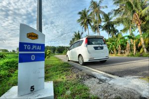
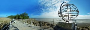
From a geographical perspective, Tanjung Piai (lit. Cape of the Golden Leather Fern) occupies a very special corner of the world. At a latitude of 1°16.00’ North, the cape constitutes the southernmost point of mainland Asia, or to be more precise, continental Eurasia. It is also one of the few places where two neighbouring countries (Singapore and Indonesia) can be seen simultaneously.
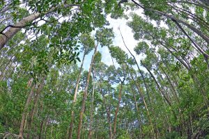
Tanjung Piai (Johor) National Park was established in 1997 to protect this unique site; in particular, the intertidal mangroves and mudflats that line the cape along with the important ecosystem services that they provide. In 2003, Tanjung Piai National Park was recognised by the Ramsar Convention as a Ramsar Site, or Wetlands of International Importance.
Since the park’s inception, it has been an ongoing battle by all involved to protect its mangrove forest which has faced serious erosion issues due to strong waves generated by thousands of tankers that sail past each year, as well as the occasional pollution events from oil spills and illegal dumping of ballast water. With the installation of offshore breakwaters, coupled with intensive mangrove replanting, the tide has now turned, and many areas that were previously eroded have now been re-colonised by healthy mangroves, and the park is now in better condition that it has ever been.
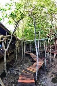
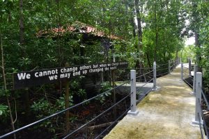
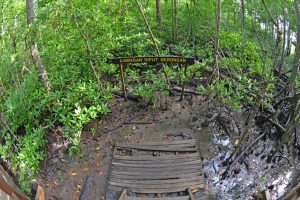
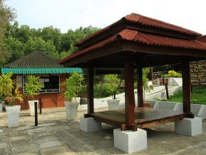
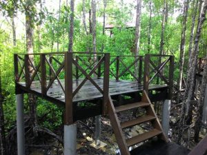
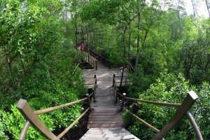
Spanning 325 ha, Tanjung Piai is the smallest but most visited amongst Johor’s five national parks. It’s certainly a great place to spend a day, observe the biodiversity, take in the views and marvel at the intricate relationship between man and nature. The park has ample facilities for visitors which include a 1.2 km network of boardwalks, a visitor complex that houses an information gallery, as well as a unique elevated campsite within the mangroves.









As has been issued in the Warta Kerajaan Enakmen Perbadanan Taman Negara Johor 1989 (Peraturan-Peraturan Di Taman Negara Johor 2016) the admission rate is as follows:
Citizens | Student / Senior Citizens | Adult | OKU |
RM3.00 | RM5.00 | FREE | |
Non-Citizens | RM10.00 | RM20.00 | Free |
Parking | Motocar | Motorcycle | Bus |
FREE | FREE | FREE |
Office address:
Taman Negara Johor Tanjung Piai
82030, Mukim Serkat Pontian,
Johor Darul Ta’zim.
Mobile: +6013-744 0956 (WhatsApp or text)
Office: +607-6960264
Facebook: https://www.facebook.com/tnjtanjungpiai
Instagram: taman_negara_johor_tanjung_piai
Google Maps: https://goo.gl/maps/ARgrrrPa8Pz
Waze: https://www.waze.com/ul?ll=1.26667194%2C103.50983620&navigate=yes&zoom=15
GPS Location: 1°16’05.6″N 103°30’30.9″E
Take the North-South Expressway and exit at the Simpang Renggam toll (after Machap). Head towards Pontian/Benut and follow the signboards to Tanjung Piai.
Take the Jalan Skudai Highway towards Pontian/Pontian Kechil. At Pekan Nenas, turn left at Jalan Peradin Belokok, follow the rural road and take the right turn at Jalan Belokok. Take left turn to Jalan Kukup Pontian toward Kukup Town. Thereafter, follow the signage to Tanjung Piai.
There is no direct bus service to Tanjung Piai. A regular bus to Pontian departs from the Larkin bus station in Johor Bahru. Express bus services run from Terminal Bersepadu Selatan (Southern Integrated Terminal) Kuala Lumpur to Pontian. A regular taxi service is available from Pontian bus station. You will have to book in advance with the cab driver for the return trip.


Johor National Parks Corporation
Nusajaya Centre, No.8, Persiaran Ledang Heights,
79250 Iskandar Puteri,
Johor Darul Ta’zim.
Tel : +607-266 1301
Fax: +607-266 1302
wa.me/+6013 744 0961
Email : jnpc@johor.gov.my


 Users Today : 60
 Users Last 7 days : 1475
 Users Last 30 days : 5532
 Total Users : 1843872
Copyright © 2022 Johor National Parks. All Right Reserved.